
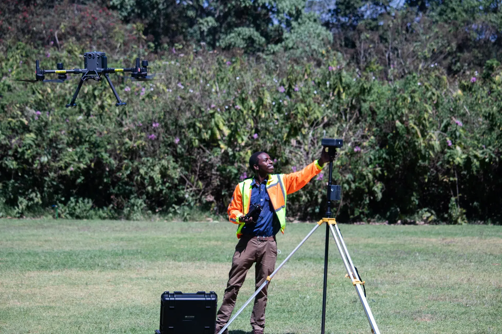
Aerial Mapping & Survey
Survey-grade aerial data for planning and decisions.
From a single construction site to thousands of hectares, Astral Aerial turns flight data into decision-ready maps — orthomosaics, terrain models, and NDVI crop analysis delivered as shareable digital outputs. The same survey-grade accuracy is active today across Kiambu, Narok, Kitale, Kericho, Kirinyaga, and Isiolo.
Want to produce this kind of data yourself? Our drone mapping course teaches survey-grade mapping and how to produce orthomosaics, DEMs, 3D models and NDVI maps, for pilots who already hold an RPL.
How it works.
Orthomosaics
Stitched, georeferenced imagery accurate enough to measure from.
Construction-site mapping
Track earthworks and progress against plan, flight over flight.
Topographic survey
Contour and elevation data without deploying a ground survey crew.
Real-estate aerial
Property and land parcels captured for marketing and due diligence.
Digital Surface / Terrain Models
Bare-earth and surface models (DSM/DTM) for drainage, grading, and planning work.
NDVI agricultural mapping
Pest and disease detection, weed-pressure ID, crop-health monitoring, and soil-quality data, delivered as digitised, shareable outputs.
How we work with you
We fly this mission for you, to aviation standard — certified pilots, documented procedures, and equipment matched to the job.